Baltic GPS Jamming Can't Blind Most Missiles
Baltic GPS jamming hit a 2026 record, but WeaponSpecs' database shows only 30% of missiles reference GPS, and none of those rely on it alone.

Via Wikipedia, Tomahawk missile (shown for identification)
Denmark’s Bornholm detection station logged 30 cases of GPS/GNSS jamming and spoofing over the Baltic Sea in 2026 through early August, versus 16 in all of 2025 and 11 in all of 2024, and on July 29 a stretch of the sea lost reliable navigation signal for a full day. That escalation is real and worth taking seriously. What it does not mean, despite how the headlines read, is that Russia has found a way to blind Western precision missiles. Across WeaponSpecs’ database of 219 missile systems, only 66 (30.6% of the 216 that publish a guidance chain) reference GPS, GLONASS, BeiDou, or any other satellite system at all. Of those 66, every single one also lists at least one independent, non-satellite method in the same chain: inertial navigation, terrain-contour matching, or a terminal seeker that never touches a satellite signal.
How bad has Baltic GPS jamming actually gotten in 2026?
Badly enough that the trend line alone is the story. Bornholm’s jamming-detection station recorded 30 GPS/GNSS interference cases in 2026 as of an Aug. 11 report, compared with 16 across all of 2025 and just 11 across all of 2024, a roughly threefold jump in under two years (technology.org, Aug. 11, 2026). Duration has escalated alongside frequency. On July 29, 2026, a large section of the Baltic Sea lost reliable navigation signal for a full day, where earlier disruptions typically lasted under 20 minutes.
This isn’t an isolated Danish observation. In January 2026, thirteen NATO members plus Iceland issued a joint warning over interference threatening maritime safety across the region, and independent trackers have documented the same pattern of spoofing and signal denial spreading across the Baltic’s shipping lanes since (CEPA; Grey Dynamics). The civil-aviation exposure is the sharpest illustration of what unguarded GPS denial actually costs: roughly 40% of European air traffic has already been affected by GNSS interference, according to a European Policy Centre analysis warning the disruption could contribute to a serious accident if left unaddressed (EPC). That’s the real casualty of this campaign: civilian traffic that has no alternative to satellite navigation. Missiles are a different question, and the database answers it with more precision than the headlines allow.
How many of WeaponSpecs’ 219 missiles actually depend on GPS?
Less than a third, and the more useful number is the majority that never needed it. Of the 219 missile systems in the database, 216 publish a guidance chain in enough detail to check. Three don’t disclose one at all (France’s ASMP-A, Ukraine’s Sapsan-Hrim-2, and China’s YJ-21) and get counted as undisclosed rather than assumed one way or the other. Of the 216 that do publish a chain, 66 (30.6%) reference GPS, GLONASS, BeiDou, GNSS, or satellite navigation in some form. The other 150 (69.4%) mention none of those terms anywhere: they navigate and home entirely on inertial navigation, terrain-matching, wire or fiber-optic guidance, laser beam-riding, or radar/infrared/optical seekers.
The undisclosed slice barely registers. The real split is between a small minority that leans on satellites and a large majority that was never in the jamming campaign's reach to begin with.
Note the honest gap in the middle: those three undisclosed systems aren’t “no GPS,” they’re simply missing enough public detail to classify either way, and treating them as anything more definite would be the same kind of laundering this site flags when a state actor overstates a spec.
Which missile types need GPS, and which never do?
The satellite-dependency split is not random across the fleet: it tracks range almost linearly. Short-range, line-of-sight infantry weapons never touch it. Long-range land-attack and anti-ship weapons lean on it as one layer among several, because they’re the only category flying far and long enough that a mid-course position correction is worth the complexity.
| Category | GNSS-referencing | Total in category | Share |
|---|---|---|---|
| Infantry (ATGM/MANPADS) | 0 | 13 | 0% |
| Land | 4 | 18 | 22.2% |
| Air | 23 | 100 | 23.0% |
| Naval | 12 | 28 | 42.9% |
| Multi-domain | 27 | 57 | 47.4% |
Zero of 13 infantry-class weapons reference a satellite at all, and the share climbs almost in a straight line as range and flight time increase.
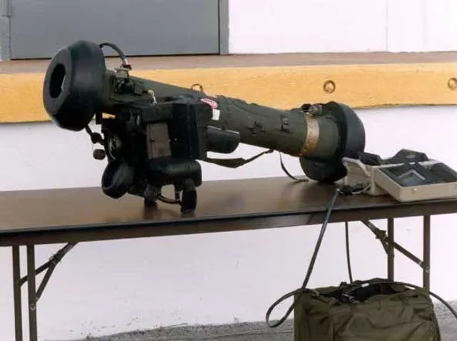
The Javelin is the cleanest illustration of the 0% end of that line. Its published guidance chain is imaging infrared homing with lock-on before launch, fire-and-forget, and a published range of 4 km. There’s no satellite reference anywhere in it, because there’s no time of flight long enough to need one. A Javelin gunner acquires, locks, and fires in seconds. Baltic jamming has nothing to interfere with there, and the same logic holds for every short-range ATGM and MANPADS in the database.
Why does every GPS-guided missile also carry a backup?
Because the design assumption long predates this year’s jamming spike. Zero of the 66 GPS/GNSS-referencing missiles in the database rely on satellite navigation alone. Checked individually, every one lists at least one independent method in the same chain, most commonly inertial navigation (INS), terrain-contour matching (TERCOM), terrain-reference navigation, or a terminal seeker with no satellite involvement at all, such as active radar homing or imaging infrared. Two edge cases are worth naming rather than glossing over: Germany’s JFS-M pairs GPS with image-based navigation rather than an explicit INS or terrain term, and China’s YJ-12 pairs BeiDou mid-course guidance with active radar terminal homing rather than a named inertial layer. Both still carry a genuine non-GPS method; they just phrase it differently than the majority that explicitly names inertial or terrain guidance.
A sample of the fleet’s longer-range, GPS-referencing systems shows the pattern clearly:
| System | Guidance chain | Range |
|---|---|---|
| Tomahawk Block V (US) | GPS/INS, terrain contour matching, two-way satellite datalink | 1,600 km |
| JASSM-ER (US) | GPS/INS, imaging infrared terminal homing | 925 km |
| Storm Shadow (UK) | INS/GPS, terrain-reference navigation, imaging infrared terminal homing | 560 km |
| Kh-101 (Russia) | Inertial navigation, GLONASS, terrain contour matching, electro-optical terminal correlation | 4,500 km (Russian state figure, unverified) |
| Kalibr 3M-14 (Russia) | Inertial navigation, GLONASS, terrain contour matching | 2,500 km (Russian state figure, unverified) |
| ATACMS (US) | Inertial navigation, GPS-aided | 300 km |
| BrahMos (India) | Inertial navigation, GPS/GLONASS midcourse, active radar terminal homing | 450 km |
Every entry above pairs satellite guidance with a method jamming can’t touch. That pairing is a design philosophy that predates the Baltic campaign by years, and the US is still actively investing in it rather than treating GPS as a settled problem. On March 17, 2026, the Air Force Life Cycle Management Center at Eglin AFB opened market research for a new GPS Increment 2 M-code receiver built specifically for the JASSM cruise missile, explicitly to counter jamming and spoofing and preserve strike precision under contested electronic-warfare conditions (Army Recognition, March 2026). Hardening GPS rather than abandoning it only makes sense if the weapon already has a fallback layer to lean on while the hardened receiver does its work, which is exactly what the JASSM-ER’s INS pairing already provides.
Defense-industry planners describe this as baseline assumption, not contingency planning for a worst case:
“GNSS signal denial is now an operational assumption in any amphibious and littoral combat planning,” said Yann Le Balc’h, Business Development Manager for Land Defense at Exail (Naval News, June 15, 2026).
That’s the frame worth taking from Le Balc’h’s comment: the missiles built around GPS were never designed as if the signal would always be there.
Does the Baltic jamming campaign actually work as a countermeasure?
Against civil aviation and shipping, yes, and that’s the part of this story that deserves the alarm it’s getting. Neither has an equivalent backup layer built in the way a guided missile does, which is why 40% of European air traffic already reports interference and why a full day of signal loss over the Baltic in July was treated as a serious escalation rather than a nuisance. Against the missile fleet specifically, the effect is much narrower. It can degrade precision on the roughly 30% of systems that reference satellite navigation, forcing them onto their inertial or terrain-matching fallback for part of the flight, which is a real but bounded cost, not a kill switch. It has essentially no effect on the 70% majority that never used GPS in the first place, including every infantry-class weapon in the database.
The jamming campaign over the Baltic isn’t a way to disable NATO or Russian missiles, it’s a tax on the minority of systems that use satellite guidance and a non-issue for the majority that were built around never needing it. That distinction matters for anyone reading the headlines and assuming the entire precision-strike fleet just got softer.
Compare guidance chains and ranges across the full missile category, or run a mission profile through the Advisor to see which systems in a specific threat environment actually carry satellite dependency worth planning around.
Sources
- Russia is Messing With GPS in the Baltic Region More And More Often (technology.org, Aug 11, 2026)
- Spoofing and Spillover: Russia Targets NATO (CEPA)
- Russian Jamming and Spoofing Threatens the Baltics (Grey Dynamics)
- Flying blind: How to prevent Russian GPS operations from causing a European air disaster (European Policy Centre)
- U.S. Seeks Hardened Anti-Jam GPS Guidance for JASSM Cruise Missile in Electronic Warfare Conditions (Army Recognition)
Systems in this comparison
Every system covered above, with its photo and, where available, a video. Tap a card to open the full spec sheet.
Compare these side by side →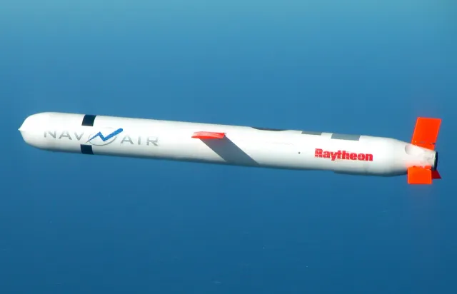
Missile
Tomahawk Block V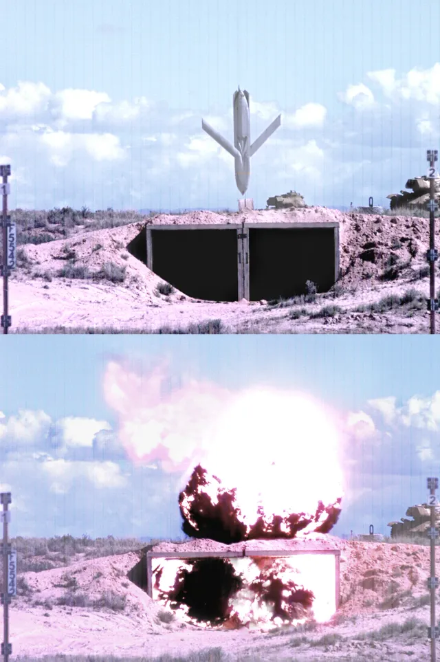
Missile
AGM-158B JASSM-ER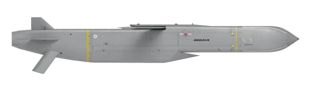
Missile
Storm Shadow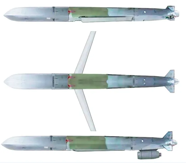
Missile
FGM-148 Javelin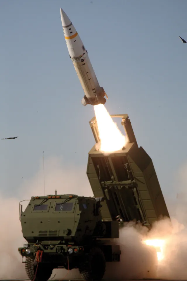
Missile
MGM-140 ATACMSFrequently asked questions
How many missiles in the WeaponSpecs database actually need GPS to hit their target? +
Of 219 missile systems in the database, 216 publish a guidance chain. Only 66 of those (30.6%) reference GPS, GLONASS, BeiDou, or another satellite system anywhere in the chain. The remaining 150 (69.4%) rely entirely on inertial navigation, terrain-matching, wire or fiber-optic guidance, laser beam-riding, or a homing seeker with no satellite layer at all.
Does jamming GPS disable a cruise missile? +
Not on its own, for the ones that even use it. Every one of the 66 GPS/GNSS-referencing missiles in the database also lists at least one independent, non-satellite navigation or homing method in its published guidance chain, most commonly inertial navigation or terrain-contour matching. Jamming degrades precision on the affected leg of flight; it doesn't strand the weapon.
Why don't ATGMs and MANPADS like Javelin use GPS at all? +
Range and time of flight. Short-range, line-of-sight infantry weapons close on a target in seconds, so there's no mid-course flight long enough to need a satellite position update. The Javelin's guidance chain is imaging infrared homing with lock-on before launch, no satellite reference anywhere in it. Zero of 13 infantry-class missiles in the database reference GPS or GNSS.
Is Baltic GPS jamming getting worse in 2026? +
Yes, sharply. Denmark's Bornholm detection station logged 30 cases of GPS/GNSS jamming and spoofing in 2026 through early August, versus 16 in all of 2025 and 11 in all of 2024. On July 29, 2026, a section of the Baltic Sea lost reliable navigation signal for a full day, where prior disruptions typically ran under 20 minutes.
Which missile types depend most on satellite navigation? +
Long-range, multi-domain land-attack and cruise missiles, at 47.4% (27 of 57). Naval anti-ship missiles are next at 42.9% (12 of 28). Air-launched weapons sit at 23.0%, land/ballistic-adjacent systems at 22.2%, and infantry weapons at 0%. The pattern tracks range: the farther a missile has to fly before it needs a position update, the more likely its chain references a satellite.
Related reading


